
Features Elevate Parcel
Browse local parcel information with ease!
Elevate Parcel helps you access your county’s property data – including owner information, photos, recent sales, assessments and more – all without leaving your couch.
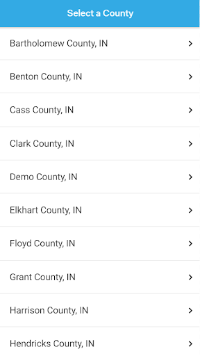
Available in the Following Counties: * Benton County, IN* Bartholomew County, IN* Cass County, IN* City of Hobart, IN* Clark County, IN* Elkhart County, IN* Floyd County, IN* Grant County, IN* Harrison County, IN* Hendricks County, IN* Jay County, IN* LaPorte County, IN* Lawrence County, IN* Martin County, IN* Miami County, IN* Monroe County, IN* Morgan County, IN* Orange County, IN* Owen County, IN* White County, IN Visit our web maps at http://elevatemaps.io/.
Camera Features
Advanced camera features with editing capabilities.
Offline Mode
Use the app without an internet connection. Your data syncs when you're back online.
24/7 Support
Our dedicated support team is always ready to help you.
See the Elevate Parcel in Action

Get the App Today
Available for Android 8.0 and above